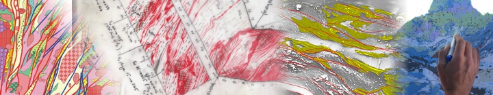
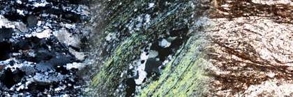
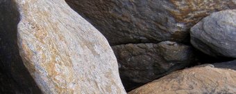
Quality geological maps represent the basis for all exploration activities. As such, their compilation needs to be based on solid field observations and data, effective discrimination, integration of related data sets and, importantly, acknowledgement of the geological processes that have been active in the environment being mapped to ensure a sustainable interpretation outcome.
 The reduction in uncertainty associated with maps compiled with this approach serves to enhance a geologist's confidence in making exploration decisions. Improving predictive capacity is also fundamental to effective prioritisation of exploration effort and also provides a sound geological basis on which to assess exploration results.
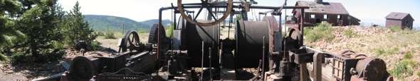
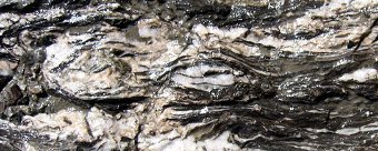
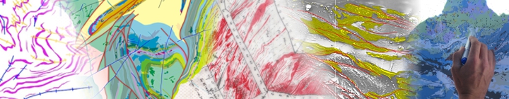
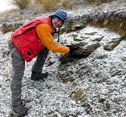
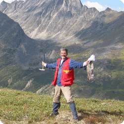
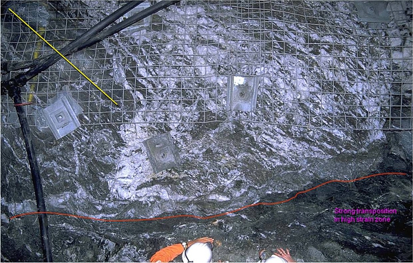
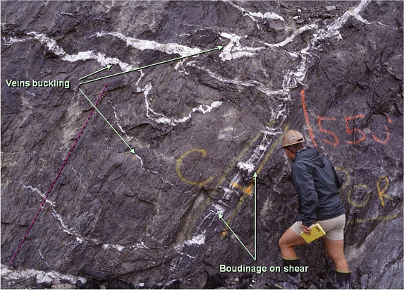
We offer over a century of international local to regional field mapping experience in wide range of geological environments from Archaean through Proterozoic to Phanerozoic assemblages. These include low to high metamorphic grade contractional (orogenic), as well as extensional (especially arc) environments. We employ an approach that is designed to recognize the key elements associated with mineralization and, through appropriate annotation, provide the reader with an immediate ability to discriminate between the important mineralisation related elements and those whose effect may simply be to increase complexity.
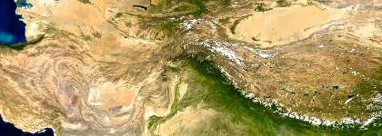
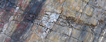
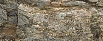
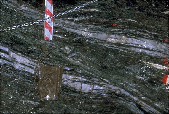
 Our mapping is underpinned by advanced, modern approaches and techniques in applied structural geology in mineralised environments. This allows us to compile time and kinematically constrained, high confidence geological maps at regional district to camp and trap site scales.
Projects can be designed to include a mapping team and in such projects we encourage the involvement of a geologist from your company's staff in the mapping team.
Desktop Mapping
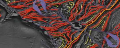
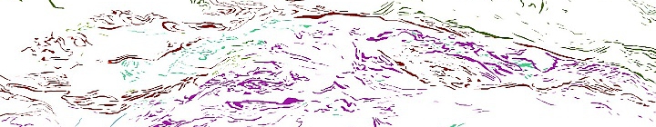
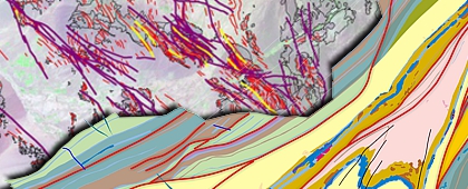
We integrate desktop interpretation using remotely sensed data sets as a standard part of many mapping and other project activities. However, clients may only require reconnaissance, desktop based interpretations of the geology and structural framework using their in-house datasets, such as spectral and magnetic data.
In completing such projects we bring our substantial field experience to bear when making decisions about the geological sustainability of the resulting compilation. This is particularly important in areas of limited outcrop, where an understanding of geological processes and the constraints these impose on interpretation is important for maximising confidence in the compilation. It also provides a solid basis for highlighting the data required for confirming aspects of the interpretation and further improving confidence.